Original Easement Drawing from the “Grant of Restricted Easement for Roadway & Utility Purposes” recorded October 20 1995 Liber 146 Page 87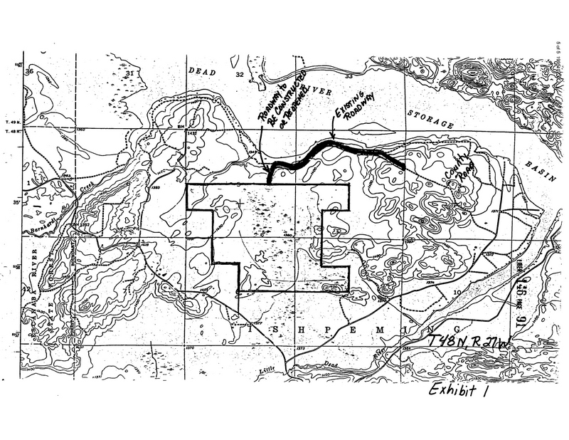
May 1994 Google Earth Imagery where you can see where the Easement comes from SENE into SWNE and Drops into NWSE: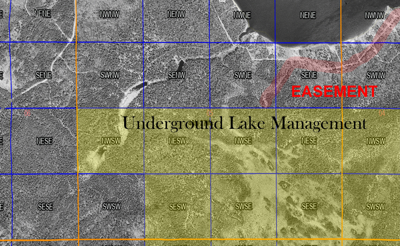
May 1994 Google Earth Imagery Zoomed in so you can more clearly see where the easement travels :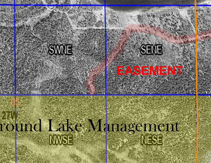
April 1998 Forestry View where the Easement seems to have been widened a bit to allow for two way traffic as the area was being logged.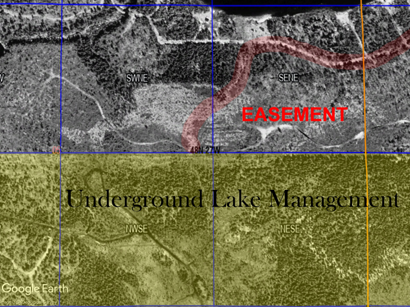
May 2004 Forestry View showing snow on the ground and you can see below the red highlighted area, where the easement/trucks traveled as you can see the snow being more prevalent in the deeper/wider tracks of the vehicles used for logging.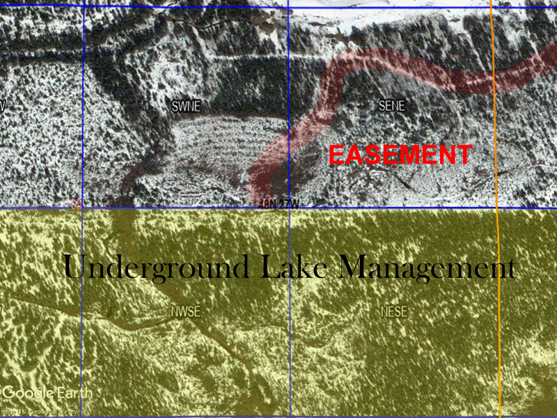
December 2005 Forestry View, by now all the logging seems to have been finished. If you look close to the left of the SENE you can see where there was two separate paths, likely one leading in and one leading out from when the area was logged.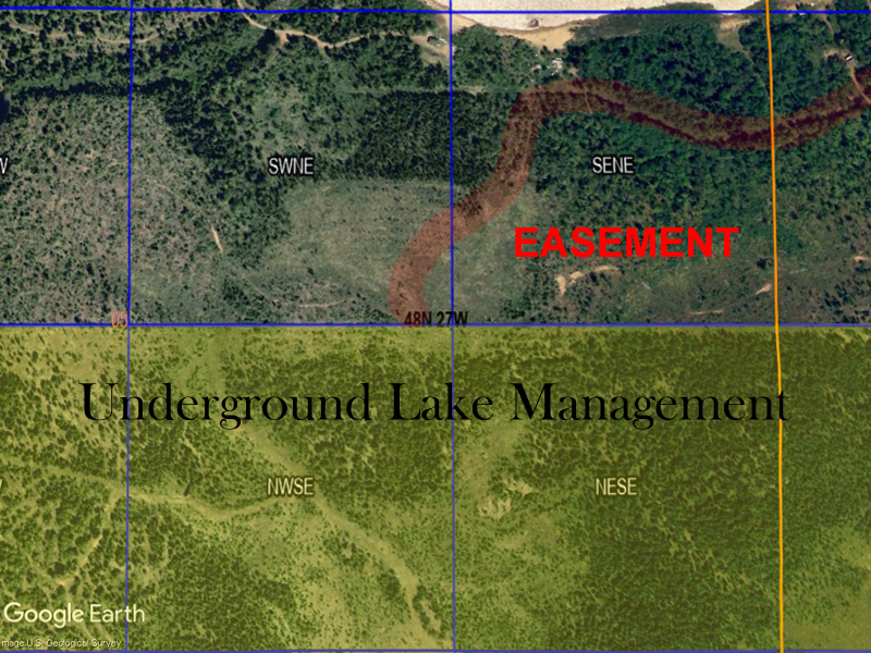
1954 Topo which is the same year Topo that was used for the Easement to be created on the attached PDF.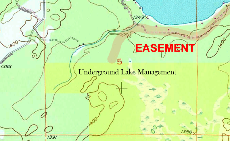
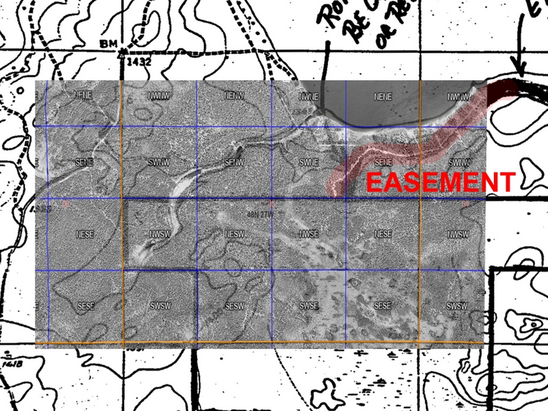
Overlay Map with the Easement in Red, Lower Level is the original Easement Recorded in Marquette County, Top Layer is the Google Image View from May 1994.